1941年《大上海新都市建设计画鸟瞰图》
此《大上海新都市建设计画鸟瞰图》为民国30年(1941年)7月绘制发行的彩色上海鸟瞰规划地图,由(日)吉田丰绘制,上海恒产有限公司发行,地图比例尺:未标注,原图为(77.47 x 105.41 cm中文彩色地图,现藏Geographicus。
地图预览:
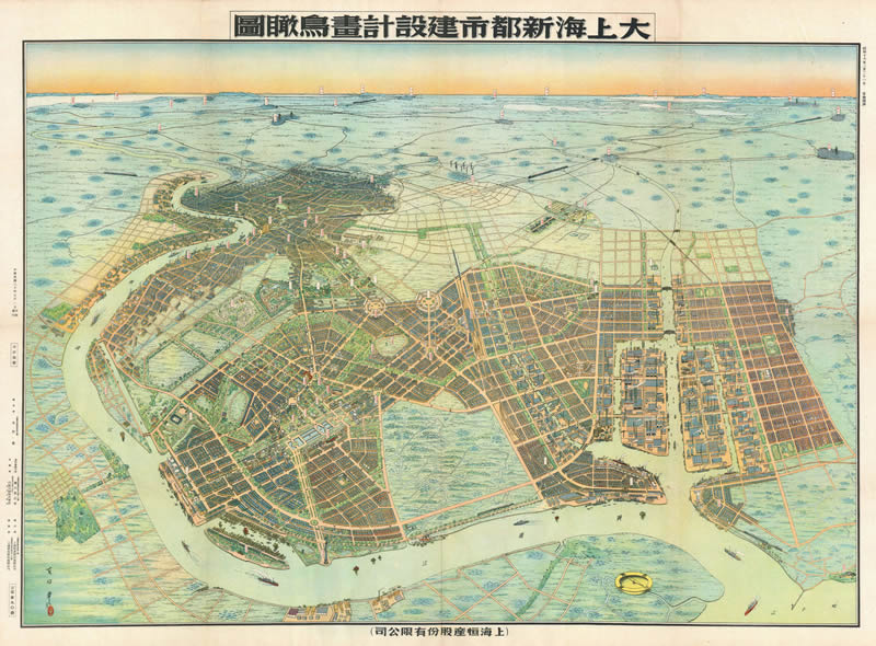
1941年《大上海新都市建设计画鸟瞰图》全图预览
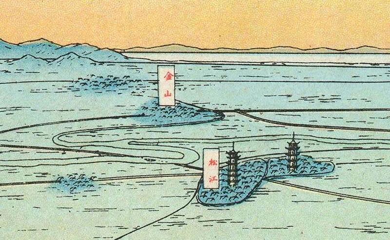
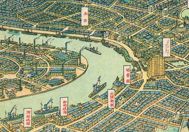
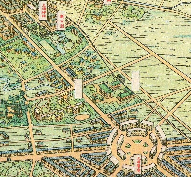
地图局部细节展示
地图文件下载:
1941年《大上海新都市建设计画鸟瞰图》JPG高清版,地图大小:共19.5M,单地图大小:9000X6642像素
文件较大,只能通过网盘分享。如分享过期请联系小编获取
提取码:
本地图更多介绍(英文版):
The Greater Shanghai Plan – 大上海计划
In 1927 the Chinese Nationalist government conceived of a grandiose plan to build a new Shanghai downriver from the Bund and concession areas – called Greater Shanghai (大上海计划). They hoped Greater Shanghai would diminish the significance of the International Settlement and French Concessions in favor of the new fully Chinese-governed city. Their plan for the new city ironically followed the guidelines laid down in British urban planner Ebenezer Howard’s 1902 book Garden Cities of Tomorrow and included broad park-lined avenues, enormous plazas, municipal lakes, and more. It also included a new government center, with imposing buildings surrounded by manicured gardens.
The Shanghai-Hengshen Company Development
When the Japanese invaded Shanghai in 1937, they coopted the vision of Greater Shanghai, but put their own stamp on it with a new plan partially derived from the original. This they termed the ‘Greater Shanghai Metropolitan Plan’ (‘ 上海大都市计划). Development rights fell to the newly minted Japanese joint-stock company Shanghai-Hengshen Ltd. (上海恒產股份有限公司 / 恒产株式会社). The firm used war plunder to capitalize its development and construction operations. They brought in hundreds of Japanese immigrants to manage the Greater Shanghai construction project, constructing more than 100 garden houses in Wujiaochang (literally ‘five corner plaza’), which here appears prominently as a large roundabout at center. Development of the new city proceeded on-and-off throughout the war but ended in 1945, when the Japanese were fully driven from Shanghai. Following the war, governance of the concessions reverted to Chinese authorities, negating the original purpose for Greater Shanghai. Although Shanghai did ultimately expand into these areas, the grand vision was replaced by more organic growth.
Publication History and Census
This view was commissioned by Yan Chuan of Hengsan Ltd. and drawn by the Japanese artist Yoshida Feng (吉田豐). It was printed in Tokyo by the Japanese firm Toppan (凸版印刷株式会社), which still exists. This view is rare. We have been unable to identify any other examples in any collection, public or private. The work does appear in a scarce Chinese-published catalog of views, but we have been unable to trace their source image.
CARTOGRAPHERS
Yoshida Feng (吉田豐, fl. c. 1900 – 1942) was a Japanese artist and viewmaker is the style of Yoshida Hatsu Saburo (吉田 初三郎). He is known to have produced two views of know, an 1835 view of Kyoto entitled ‘City view of Osaka’ (大大阪市市势大观) and a large-scale view of Shanghai entitled, ‘Aerial view of the construction design of the new city of Shanghai’ (大上海新都市建設計畫鳥瞰圖).
提示:点击上方立即支付下单后刷新本页获取网盘提取码,地图都是高清的请下载到电脑硬盘查看,超大图请使用电脑自带图片查看器查看。如无法下单,请随时联系小编获取文件。
